MapSVG – Interactive Vector / Image / Google Maps 6.2.8
Latest version: 6.2.8$5 / year
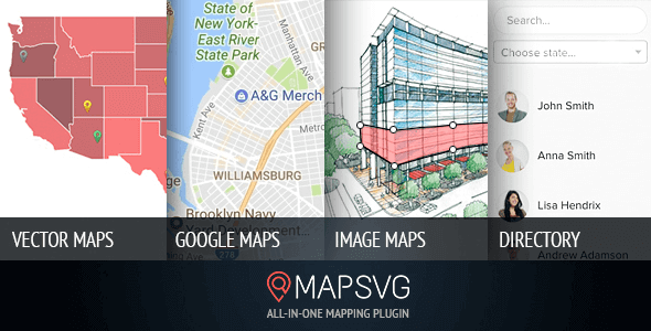
MapSVG is the last WordPress map plugin you’ll ever need – all 3 kinds of maps in one plugin: Custom Interactive Vector maps / Google Maps / Image Maps.
MapSVG – Interactive Vector / Image / Google Maps
Maps of all countries of the world are included in the plugin
Interactive maps of USA, Germany, France, Spain, Netherlands and 100+ more countries are included. Use them on their own or make them semi-transparent and overlay on Google Maps.
Turn any vector image into an interactive map
Turn any vector into an interactive map. Take any of the included SVG maps and edit them in Adobe Illustrator or InkScape (add new regions, titles etc.) or draw your own map, floorplan, or any other image and make it interactive with MapSVG.
Image maps
MapSVG has drawing tools which allow you to add clickable vector shapes to JPEG/PNG images. For example it could be an image of a building with clickable floors of the building showing a detailed floorplan on click.
Google maps
Use Google Maps on their own or extends the functionality: overlay one of included vector maps or any other vector artwork on Google map. Choose Google Maps styles: silver / night / retro, etc. or create a custom style.
Database
Create custom objects and show them on a map. Objects can have many custom fields: text, image, select, radio, checkbox, wp_post, date. Show objects on a map as markers or show a list of objects in a pop-up on click on a region of a map.
Directory
Show a list of custom objects in a directory with search and filters.
Markers
Add markers to a map simply by entering an address.


Reviews
There are no reviews yet.