We are having issues with the S3 bucket and are working on a fix. If you can't download the file, please email [email protected]

Interactive World Maps 2.4.8
Latest version: 2.4.8$5 / year
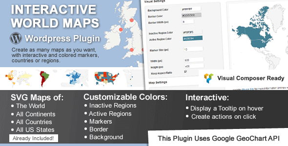
This is a WordPress plugin for creating any number of maps with interactive and color markers, continents, countries or regions.
Interactive World Maps
Show Different Regions
You will be able to show hundreds of different kinds of maps, already included:
- A map of the entire world.
- A continent or a sub-continent. (Africa, Europe, Americas, Asia, Oceania and all their sub-continents)
- A country. (virtually all the countries in the world are included, featuring the most requested: USA, United Kingdom, Canada, France, Germany, Spain, Italy, Brazil, India, Australia…)
- A country divided by its regions. *
- A state in the United States.
- The United States divided by metropolitan areas.
- A state in the United States divided by metropolitan areas.
This plugin is perfect for:
- Travel Websites – Create maps to display destinations and link to pages about a specific location
- Traveler Website – Display a map with destinations/countries visited
- Multinational Companies – Create maps of the cities/countries where they operate
- Small Companies – Show the location of the business in a country map
- NGO’s – Create maps of NGO projects around the world
- Infographics – Display simple to read maps with various information
- And much more other applications! Be creative!
[block id="product-detail-update-support-tab"]


Reviews
There are no reviews yet.